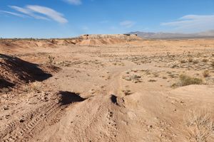
AZ-NV-UT Tri-State Monument in Mesquite, Nevada
Political boundaries in the western US were often drawn along lines of latitude and longitude for convenience on maps. Establishing these straight lines on the ground proved challenging with 19th-century technology. The corner of Arizona, Utah, and Nevada exemplifies this difficulty. Utah and Arizona's boundary was set at the 37th parallel, and Nevada's eastern border at 114° 2' W.The initial survey in 1870 by Isaac P. James was conducted under primitive conditions. While astronomy aided latitude determination, longitude, reliant on precise time measurements, was prone to significant errors. Consequently, a 1900 resurvey revealed the James monument was nearly 1.5 miles too far north.Although the 1901 resurvey was an improvement, it was still found to be imprecise. In 2016, surveyors proposed a new monumentation using modern GPS technology. The 1901 monument was removed and is now displayed in St. George, Utah. The current tri-point monument, established with sub-centimeter accuracy, is expected to be the final and most accurate demarcation.