Google Cloud Blog
Follow
Enhancing BigQuery geospatial with Earth Engine raster analytics and map visualization
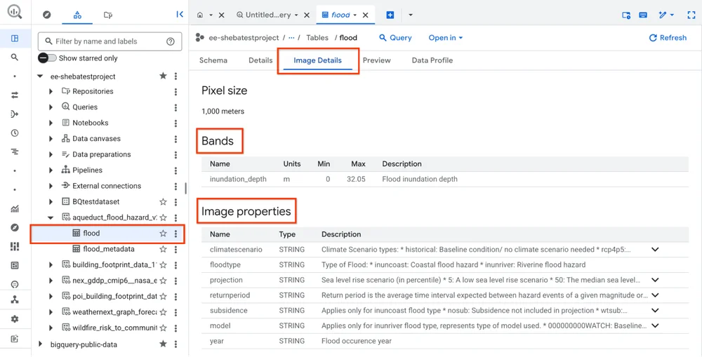
Google Cloud has made Earth Engine in BigQuery generally available, enhancing its geospatial capabilities. This integration allows data analysts to combine their structured data with satellite imagery data directly within BigQuery. New features include the ST_RegionStats() function for deriving statistics from raster data and access to Earth Engine datasets through BigQuery Sharing. Expanded regional support and improved metadata visibility are also now available. A preview of a new map visualization capability in BigQuery Studio has been introduced to improve understanding of geospatial data. This visualization feature allows for instant map views, interactive exploration, and customized styling of query results. The integration of Earth Engine and map visualization creates a unified platform for geospatial analytics, accelerating the time to insight. An example demonstrates how an insurance provider can analyze extreme precipitation events in Germany using these tools. The analysis involves calculating return periods for precipitation over different timeframes to identify changes in risk. These insights can then be visualized on maps to inform strategic business decisions, such as optimizing supply chains or insurance policies.